Showing posts with label travel. Show all posts


Mt. Karamats (唐松岳)
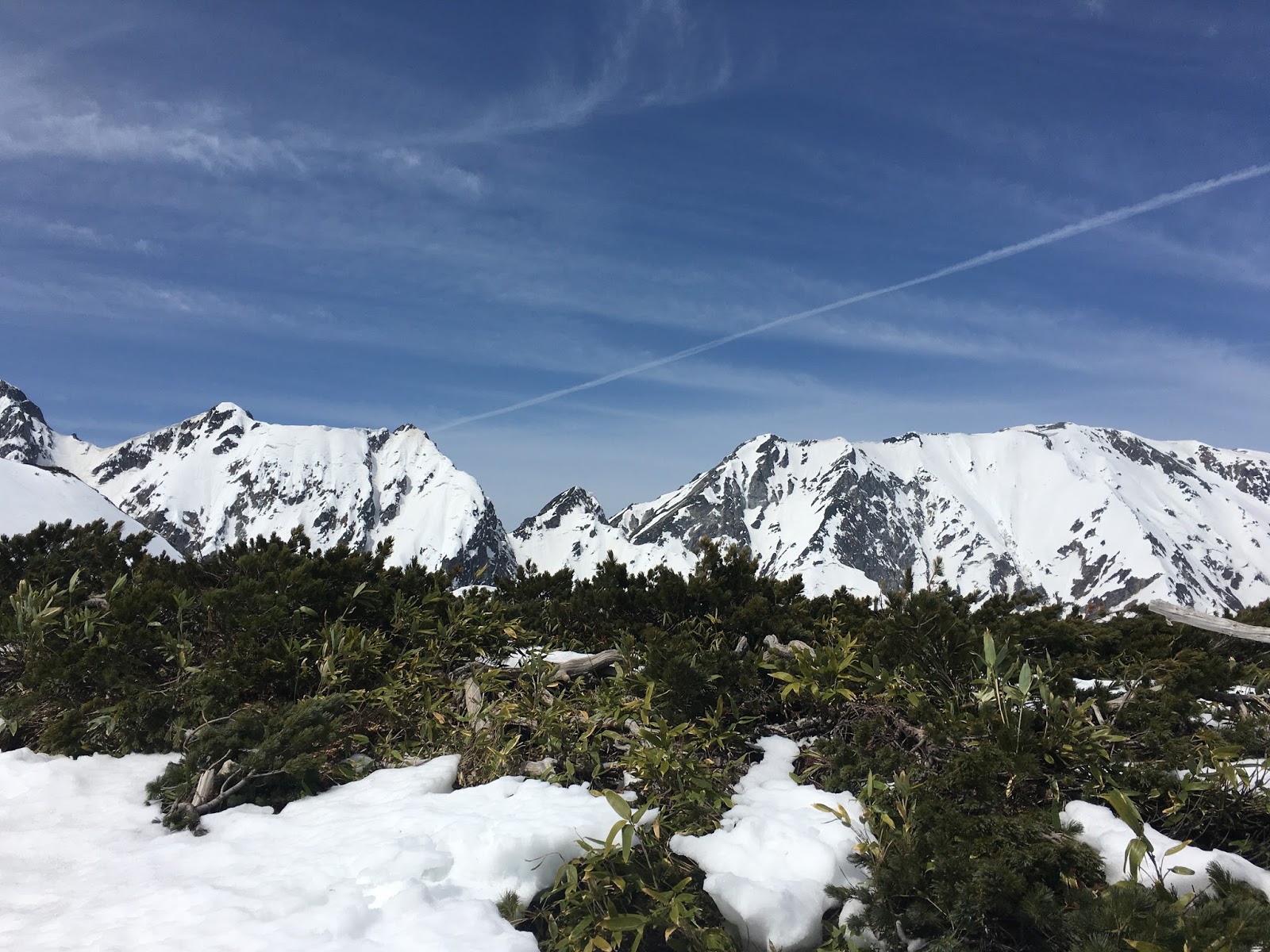
Mt. Karamatsu (Karamatsu-dake in Japanese) is in the Japanese Alps, and 2,696m high at its peak located in Nagano Prefecture. You can access to the mountain via Happo-one snow resort, which is one of the famous snow resort in Hakuba village.


https://ja.wikipedia.org/wiki/%E5%94%90%E6%9D%BE%E5%B2%B3

Hakuba Happo-one
Hakuba Alpine Resort

Hiking information
http://www.yamakei-online.com/yk_map/?latlon=36.69142661176844,137.78474669603756&zoom=14 

Trail is still covered by a few meters of snow, so you certainly need to prepare the trekking gears for winter season such as axes and climbing irons. Climbing is started from the top of the Hakuba Happo-one snow resort. At this time, we didn't reach to the top of Mt. Karamatsu, because of the time shortage.




 Snow report on 2th March, 2016 from Okutadami-Maruyama Snow Resort,  Niigata Japan. The resort is closed during midwinter and re-opend in the middle of March.

 This 32.4km-long-drippy-rock-surface-tunnel leading to Okutadami-Maruyama snow resort is called "Silver Line". The Okutadami dam is a hydroelectric power generation purpose dam and was built in 1960s. The 32.4 km-long tunnel was for the purpose of construction work. The snow resort is located in the upper part of the dam.

 The resort takes advantages of large amount of snowfall, it usually has a big half-pipe and over 10m kickers. Due to record-breaking warm winter, there are no half-pipe in this spring season.

 The depth of snow is only 3m though it is over 5m on an average year.


Snow report on 18th February, 2016 from Kagura-Mitsumata Snow Resort, Niigata, Japan. Kagura is a three-in-one ski resort that incorporates the areas of Kagura, Mitsumata and Tashiro, lying next to the Naeba Snow Resort. These joint resorts provide a wide variety of ski courses, from easy family slopes to challenging advanced-level.

Mt. Naeba (in English)
Kagura Snow Resort (in Japanese)

No clouds and clearly fine this morning. Mt.Tanigawa, on the border of Gunma Pref. and Niigata Pref., can be seen from Kan-etsu Express Way. Great beauty!

Yuzawa area had fairly deep fresh snow during the night. The road condition was icy.

No clouds, amazing clear blue sky!

30 cm over fresh snow covered over backcountry area. Only 30 min hike from the Kagura Gate, introduced from 2014-2015 season at the top of the 5 romance lift, got to the top of Nakaone (中尾根). South face received strong sunlight and made sun crusts in a short time.


Kagura area used to be much quieter than Naeba, before the powder hunting became very popular in Japan. Now, Kagura is the gold standard of "sidecountry", "backcountry", and the powder hunting. After a long interval, we visited Kagura to test our new gears. Kagura area impound massive snow in usual season, but 2-3 meter lower in this season. Uncommon clear view from the restaurant at the top of the Kagura gondola.


The El Niño Southern Oscillation is quite strong in this winter. It causes very warm atmosphere around Japan. North Japan is also no exception. Shiny this morning with a few cm of fresh snow on the ground from yesterday. Light winds and the temperature is sitting at -5 degrees. East side slope face of Nishidaiten (西大巓) was good condition with snow monsters!


Tengendai Kogen (Official in Japanese)
Tengendai Kogen (Snow forecast)

Less snow than usual but it was light powder snow!

Snow depth is 1m lower than that of the other year's usual. Unusually warm winter.

There is still partially closed course.


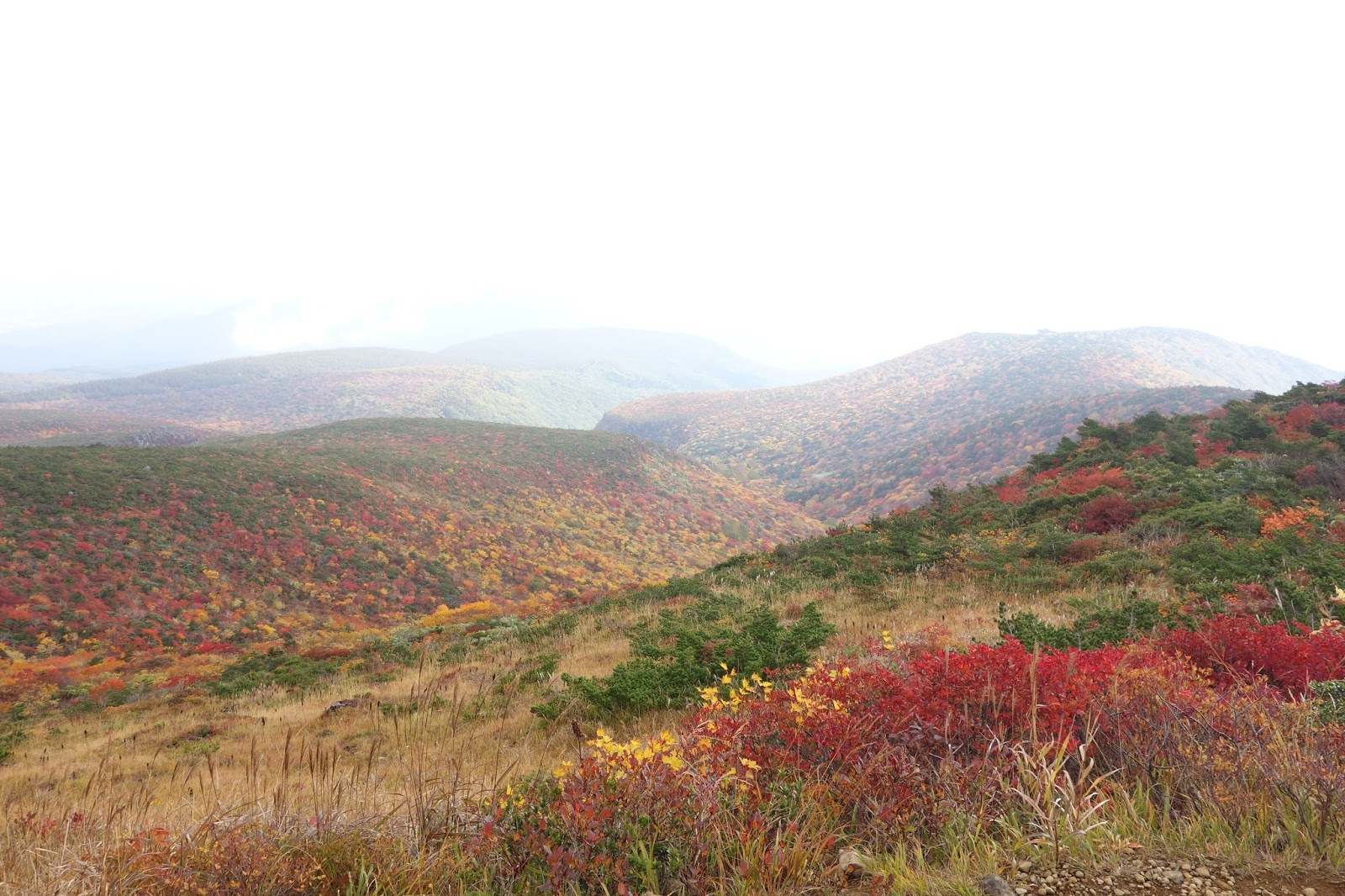
Mt. Adatara (安達太良山 Adatara-yama) is a strato-volcano in Fukushima Prefecture, and is famous for ski resort in snow season and mountain trekking in green season. Adarata-yama Ropeway takes you to 1,350m in ten minutes.

Sunrise from adjacent parking lot.


It is recommended to start walking before sunrise to avoid congestion of tourists. Then you can enjoy quiet forest walking filled with colorful autumn leaves. 


Japanese poet Kotaro Takamura (高村 光太郎 1883 – 1956) married with the woman whose name is Chieko. He is famous for his poems collection Chiekoshō (智恵子抄 in English titled Chieko's sky). Chieko was born in the Adatara area and she really loved where she was born in. At the time Kotaro and Chieko live in Tokyo, Chieko said "There is no sky in Tokyo. The real sky is the vista of blue sky over Mt. Adarata". Following monumental inscription represents Chieko's word.「この上がほんとの空です.(Kono ue ga honntono sora desu)」


The mountain peak sign of Mt. Adatara at 1728 m.

Mt. Adatara has a crater at the summit surrounded by a sulfur smell.


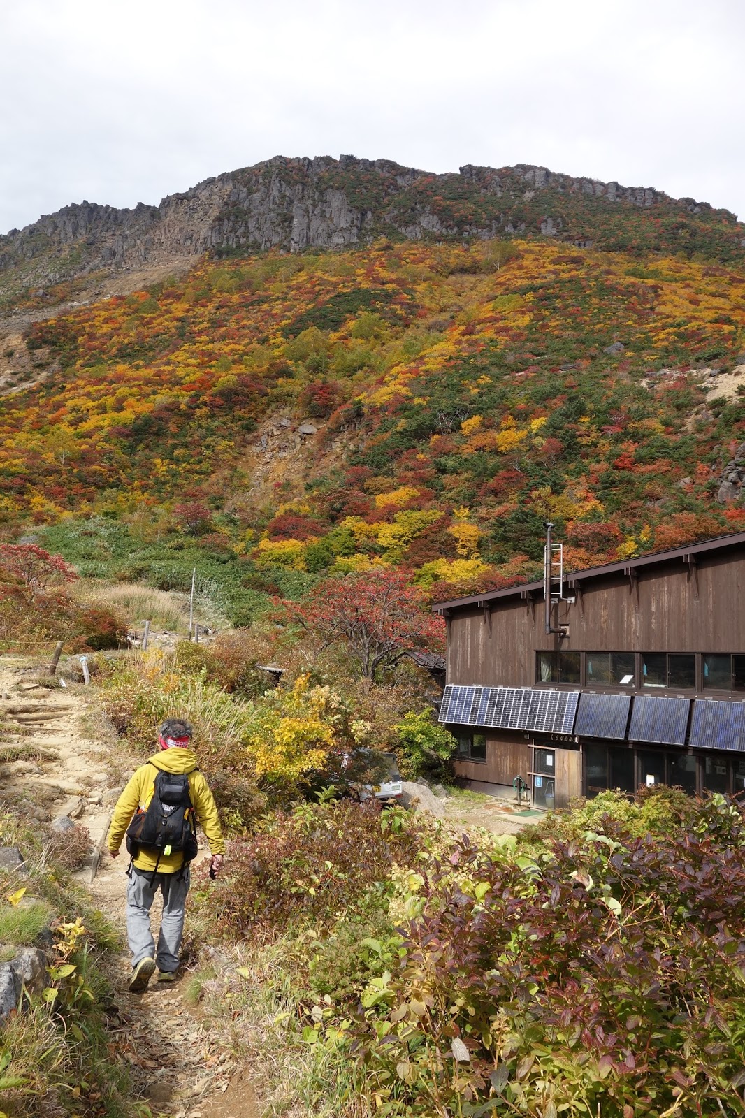
Kurogane-goya, a mountain lodge.


Fukushima is not a radiation suffered place any more. We can live, work, enjoy mountain trekking!


The Yatsugatake Mountains (八ヶ岳連峰) is a chain of volcanic mountains on the border between Nagano Prefecture and Yamanashi Prefecture. The mountains consist of two groups, South Yatsugatake and North Yatsugatake, and both are in the Yatsugatake-Chūshin Kōgen Quasi-National Park.

Mount Aka (Aka-dake 赤岳) is a 2,899m mountain that is the highest mountain in the Yatsugatake Mountains.

See mountain weather forecast of Mt. Aka at 2899m

Access: Minoto-guchi (美濃戸口) is the one of the famous for starting point of climbing and mountaineering heading for the Yatsutagake Mountains. You can go there by car, public bus or taxi. There is a forest-road leading to Minoto-sanso (美濃戸山荘; Minoto mountain lodge), but the road is very narrow and 4WD is recommended. Many hikers are walk the forest-road for 1hr from Minoto-guchi to Minoto-sanso and we also did so. We got Minoto-guchi at midnight, parked our car, and start walking before sunrise at 20th September, 2015.

The starting point of forest road at Minoto-guchi.

The sign pointing to the Minoto-sanso.
 Walk a bit from Minoto-sanso, here is the starting point for a Yatsugatake climbing.

First, we take the trail that goes Gyoja Hut (行者小屋) walk through the mossy forest for about 2hr.

From Gyoja Hut (行者小屋), you can see Aka-dake (赤岳) well.

Many hikers set up a camp here.

The trail that lead to Aka-dake can be find behind the hut. The trail above the hut, it become hard and rocky ridge, but it is well-marked. About 2hr hike, we could reach the Aka-dake Tenbo-so (赤岳天望荘) that is very close to the peak of Aka-dake (赤岳). Hiked up again for 1hr, we stood at the top of Aka-dake (赤岳).

There are two major route to get back to the Gyoja Hut, and we chose the route through the Naka-dake (中岳). Once drop to the col between Aka-dake and Naka-dake, and go up to Naka-dake for 30min. When we turned around, there was rocky Aka-dake in front of us and Gyoja Hut below our eye.

Aka-dake from Naka-dake

Gyoja Hut from Naka-dake